Visualizing the Underground with Precision
How do we turn invisible seismic echoes into Billion-dollar decisions? At GeodeTech, we build the bridge between raw terrestrial data and actionable mine stratigraphy.
Turning Signals into Stratigraphy
The cloud-based analytics portal that simplifies complexity.
Synchronized Cloud Portal
We've engineered a centralized environment where field data uploads automatically. No more manual transfers. You'll access your survey results from anywhere in the world on a secure, low-latency infrastructure.
// HACK: add loading state for live feeds
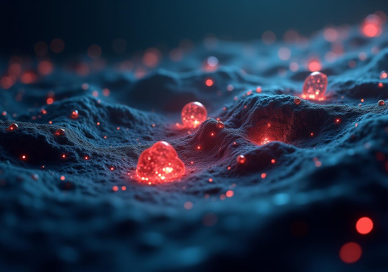
3D Volumetric Rendering
Why look at 2D slices when you can walk through the ore body virtually? Our engine renders complex geological structures in high-fidelity 3D, allowing for precise volume calculations before you ever break ground.
Our team believes that seeing is believing. Especially when millions are at stake.
Lecagy GIS Integration
Don't ditch your existing tools. Our platform plays nice with standard GIS software. We provide seamless API bridges to export stratigraphy layers directly into your current workflow. It's about enhancing, not replacing.
Advanced UI Interface
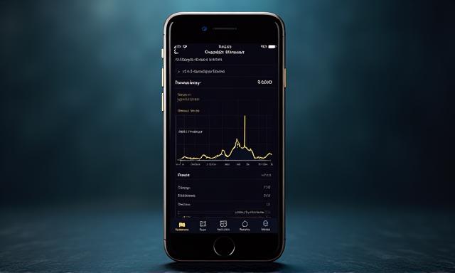
The interface is designed for geologists, by geologists. We focus on high-contrast data visualization that remains legible even on rugged tablets in intense field lighting. Clean. Fast. Powerful.
Success in the Field
Real impact. Proven results. Don't just take our word for it.

"The 3D rendering is a game-changer. We saw a 40% reduction in false-positive drill sites during our Q3 survey."
Snaffydepp O.
Lead Geologist
Our operations team had struggled for years with fragmented data silos and poor visualization. Why did we choose GeodeTech? Because their integration suite actually works with our legacy systems without a week of troubleshooting.
Kosovare Amare
Operations Manager, Northern Resources
"Incredibly intuitive UI. We're cutting down processing time from weeks to hours."